Veneto

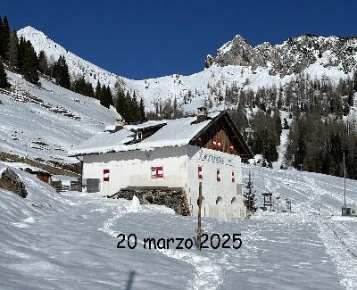
Webcam direction: Città di Fiume Hut
Location: Città di Fiume Hut
Altitude: 1918 m
Short description: Città di Fiume hut is located in an enchanting place: on its back the gentle slopes of Col de la Puina, in front of the majestic northern face of Pelmo and Pelmetto; you can see farther Mount Civetta, and, in the distance, the glacier of Marmolada and the Sella group. Included in the itinerary of the Dolomites High Route n. 1, Città di Fiume Hut is a favorite stop-over for hikers who aim to reach more huts in a day, through easy and well-marked paths.


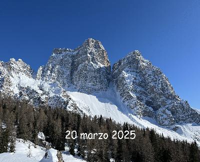
Webcam direction: Mout Pelmo
Location: Città di Fiume Hut
Altitude: 1918 m
Short description: Mount Pelmo (Pèlf in Ladino), belongs to the Belluno Dolomites and is 3.168 m high. It is located at the joining point between Val Zoldana, Val Boite (Cadore) and Val Fiorentina, near the Staulanza Pass. Unique and characteristic, this mountain is composed by two principal summits, the real Pelmo northward, and Pelmetto (2990 m) southward. The east side is another distinctive feature of this mountain: being the cirque in full sight, it looks like a wide seat: that is why it is locally nicknamed “El Caregon del Padreterno” ("God’s throne").



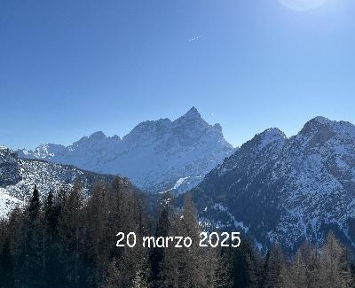
Webcam direction: Mount Civetta
Location: Città di Fiume Hut
Altitude: 1918 m
Short description: Mount Civetta is the symbol of the area linking the Agordino region, Val Zoldana and Val Fiorentina, and covering different municipalities, including Alleghe, Colle Santa Lucia, Forno di Zoldo, San Tomaso Agordino, Selva Di Cadore and Zoldo Alto, gateway to the Belluno Dolomites Park. The mountain rises to 3218 m.a.s.l. in the Province of Belluno, and constitutes one of the most daring Dolomites group in the northeast. On the northern side, the famous and impressive "wall of walls", about 1000 meters high and 4 km long, is crossed by a lot of climbing routes.



Webcam direction: Marmolada
Location: Città di Fiume Hut
Altitude: 1918 m
Short description: Marmolada is a mountain group of the Alps whose highest peak, called Punta Penia, rises to the height of 3.343 m. Located between Val Pettorina, eastward, and Val di Fassa, westward, it is commonly regarded as the highest group of the Dolomites, as well as of Veneto. Nevertheless, strictly speaking, Marmolada does not consist of dolomite (as the other Dolomites); in fact it is mostly composed of a very compact gray limestone, derived from coral reefs, with inserts of volcanic material


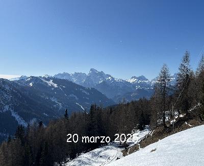

Webcam direction: Tofana di Rosez e gruppo di Fanes
Location: Lagazuoi Hut
Altitude: 2752 m
Short description:


Webcam direction: Cinque Torri – Averau – Nuvolau
Location: Lagazuoi Hut
Altitude: 2752 m
Short description: This area which extends between Falzarego Pass and Giau Pass, is one of the most impressive of the Dolomites. Located in the Park of Ampezzo Dolomites, it offers different kind of attractions, such as the wild and unspoiled environment, several climbing areas, hiking and mountain bike trails, indoors and outdoors museums of the Great War. Several huts cover the area: Scoiattoli, Cinque Torri, Averau and Nuvolau. See Cinque Torri, in the foreground, on the left, and Pelmo summits and part of the Civetta area, in the background.


Webcam direction: Marmolada
Location: Lagazuoi Hut
Altitude: 2752 m
Short description:


Webcam direction: Carestiato Hut and Moiazza
Location: Carestiato Hut
Altitude: 1834 m
Short description:


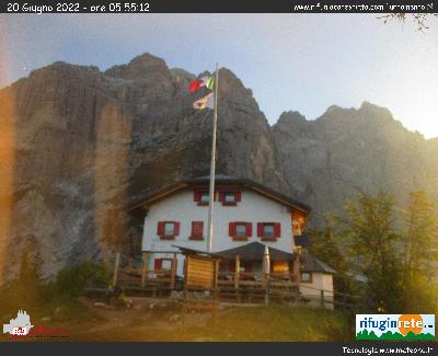

Webcam direction: Mount Agner and Feltrine peaks
Location: Carestiato Hut
Altitude: 1834 m
Short description:


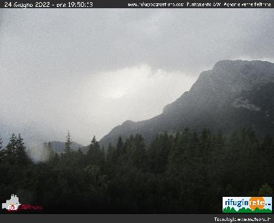

Webcam direction: Tofana di Rozes
Location: Dibona Hut
Altitude: 2083 m
Short description:


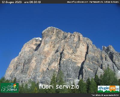

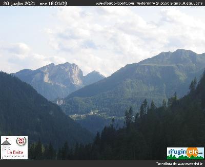
Webcam direction: Sasso Bianco, Migon, Laste
Location: Cernadoi
Altitude: 1605 m
Short description: The Sasso Bianco measuring 2407 meters, is part of the Auta mountain group and show to Val Pettorina a complex Dolomite wall. On eastern wall of Migon (2384 m) there is Laste with its characteristic Ladin church, visible in the center of the image.



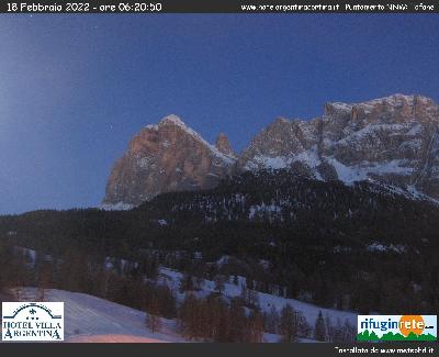
Webcam direction: Tofana di Rozes and Mezzo
Location: Pocol
Altitude: 1540 m
Short description: Tofane is a mountain group in the Italian Dolomites, west of Cortina d'Ampezzo, in the province of Belluno, Veneto, northern Italy. The highest peaks of the Tofane group are Tofana di Mezzo (3,244 m), Tofana di Dentro (3,238), and Tofana di Rozes (3,225 m). All the three highest peaks were first conquered by Paul Grohmann along with local mountain guides, in 1863 (di Mezzo), 1864 (di Rozes) and 1865 (di Dentro).



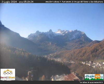
Webcam direction: Tamer San Sebastiano
Location: Fornesighe
Altitude: 1000 m
Short description: The San Sebastiano is a mountain group of the Dolomites in the province of Belluno that is precisely situated between the towns of La Valle Agordina, Zoldo Alto and Forno di Zoldo. The group is subdivided into three subgroups: the Tàmer, San Sebastian and Moschesin. In the lower part of the shot the villages of Villanova and Dozza.



Webcam direction: Croda dei Toni ed Auronzo
Location: Rifugio Auronzo
Altitude: 2333 m
Short description:



Webcam direction: Cadini di Misurina
Location: Rifugio Auronzo
Altitude: 2333 m
Short description:


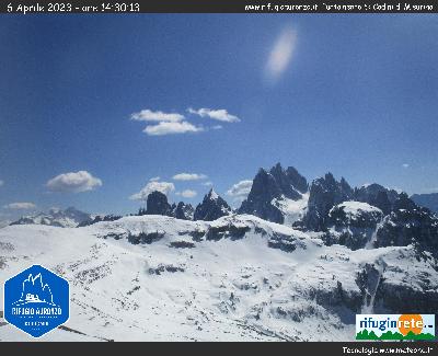

Webcam direction: Cristallo e Misurina
Location: Rifugio Auronzo
Altitude: 2333 m
Short description:



Webcam direction: Lastoi de Formin e forcella Giau
Location: Malga Giau
Altitude: 2015 m
Short description:


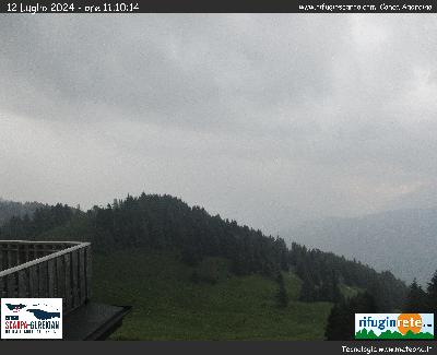
Webcam direction: Agordino Area
Location: Scarpa Gurekian Hut
Altitude: 1735 m
Short description: Located over Frassenè Agordino, Scarpa Gurekian hut has been opened in 1912, thanks to the venetian painter Enrico Scarpa and to the engineer Ohannes Gurekian. At the feet of Agner, it affords a panoramic view of the surroundings at 360 degrees. The webcam points to Agordino area.



Webcam direction: Val Belluna
Location: Rifugio Pranolz
Altitude: 780 m
Short description:



Webcam direction: Marmarole and Sorapiss
Location: Malga Maraia
Altitude: 1700 m
Short description:


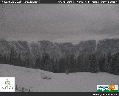

Webcam direction: Mount Civetta
Location: Camping Palafavera
Altitude: 1500 m
Short description:


Trentino Alto Adige

Webcam direction: Contrin Hut
Location: Contrin Hut
Altitude: 2061 m
Short description: he Contrin Valley is a valley in the Dolomites, is divided between the municipalities of Canazei (lower part) and Pozza di Fassa (upper part), both in the province of Trento. It is surrounded on three sides by Marmolada on east: the famous mountain itself, with its 3343 meters above sea level is the highest point of the valley, on the south Cima Uomo 3010 m and on the west Colac 2715 m. To the north joins the Val di Fassa, in the neighborhood of Penia, fraction of Canazei. This famous building in the valley is the Contrin Refuge, which was built in the late nineteenth century, an important stage of the Via Alpina and the arrival point of the Trophy Contrin, mountain running event that had stood for more than thirty years.


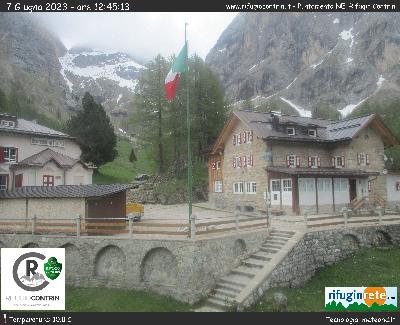

Webcam direction: Marmolada
Location: Passo Fedaia
Altitude: 2050 m
Short description:



Webcam direction: Gran Vernel
Location: Castiglioni Hut
Altitude: 2016 m
Short description: The Gran Vernel (3210 m asl) is a summit of Marmolada in the Dolomites. Viewed from the crest of Padon appears as a colossal crystal.


Webcam direction: Val di Fassa Marmolada e Sella
Location: Rifugio Roda di Vael
Altitude: 2238 m
Short description:


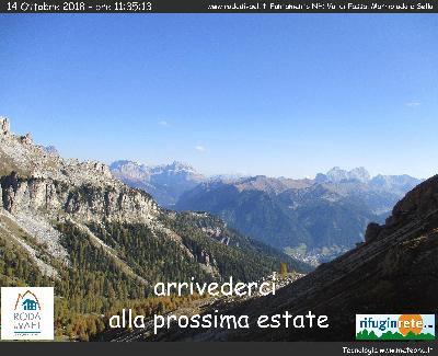

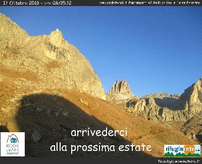
Webcam direction: Roda di Vael and Torre Finestra
Location: Rifugio Roda di Vael
Altitude: 2283 m
Short description:


Valle d'Aosta

Webcam direction: Monte Rosa
Location: Ristoro Sitten
Altitude: 2300 m
Short description: From left Castore (4226 m), Liskam Occidentale (4470 m), Liskam Orientale (4532 m), Naso del Liskam (4271 m), Colle del Lys, Cristo delle Vette (4167 m Balmenhorn), Corno Nero (4322 m Scharzhorn), Piramide Vincent (4215 m), Rifugio Sella (3585 m), Rifugio Gniffetti (3611 m).



Webcam direction: Moos e Gabiet
Location: Ristoro Sitten
Altitude: 2300 m
Short description: From the left you can see: Telcio, Col D'Olen, Gabiet, Moos and black piste of Betta Forca.


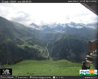

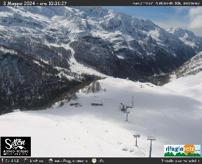
Webcam direction: Gressoney Valley
Location: Ristoro Sitten
Altitude: 2300 m
Short description: In the plain you can see finish of Chair Lift from Staffal, beginning of one to Bettaforca and Church of Sant'Anna visited in July 2001 by Giovanni Paolo II. In the background Gressoney la Trinité town.



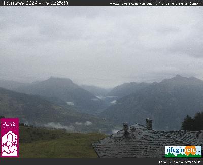
Webcam direction: Matterhorn and Gran Combin
Location: Rifugio Chaligne
Altitude: 1943 m
Short description:


Friuli Venezia Giulia

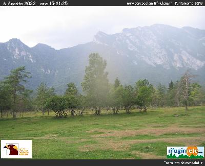
Webcam direction: Parco Dolomiti Friulane
Location: Pinedo
Altitude: 500 m
Short description:



Webcam direction: Cima Rest
Location: Tramonti di Sopra
Altitude: 400 m
Short description:



Webcam direction: Erto e Casso
Location: Erto e Casso
Altitude: 775 m
Short description: Erto and Casso were the two villages in the Vajont (/va?j?nt/) valley, above the artificial lake, before the Vajont Dam disaster on 9 October 1963. The landslide and flood killed almost 2,000 people in total, destroying five villages in the Piave valley but leaving Erto and Casso only slightly damaged. The two villages were cautionally evacuated within three days of the disaster and the valley stayed empty for three years thereafter. During those years, some of the survivors settled down in the Maniago municipality, creating what would become the new Vajont municipality from 1971.


Piemonte

Webcam direction: Monte Castel
Location: Rifugio Maria Luisa
Altitude: 2160 m
Short description:


